| Home |
| About Us |
| Methods |
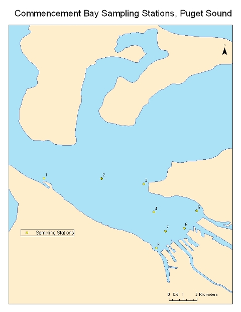
| Sample Sites
|
| Data Repository |
| Acknowledgements |
Commencement Bay |
||||||||||||||||||||||||||||||||||||||||||||||||||
Introduction Commencement Bay is located at the Southern end of Puget Sound; extending from Tacoma’s Point Defiance to Brown’s Point.The Puyallup River is the largest freshwater stream draining into Commencement Bay. Many other smaller rivers and creeks drain directly into the Bay. Since the late 1800’s, Commencement Bay has been used for various commercial, urban and industrial uses such as shipbuilding, transportation, railroad operations, chlorine production facilities, aluminum smeltering factories, chemical manufacture, and oil refining (DARRP 2009). The nearshore area and waterways of the Bay are often used as feeding and migratory pathway for salmonids. Heavy contamination and pollution has negatively impacted marine life, leading to disruption of the ecological food chain and a decrease in healthy habitats for many native species. Many areas along the bay have been named superfund sites by the EPA due point and non-point sources. Click on picture to enlarge
|
||||||||||||||||||||||||||||||||||||||||||||||||||
![]()
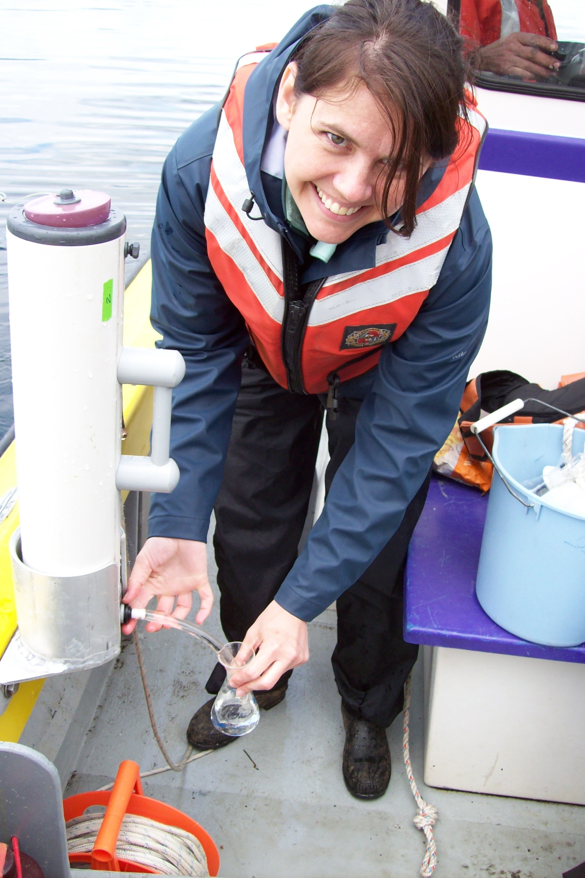
Preparation of Dissolved Oxygen
.JPG)
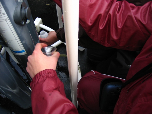
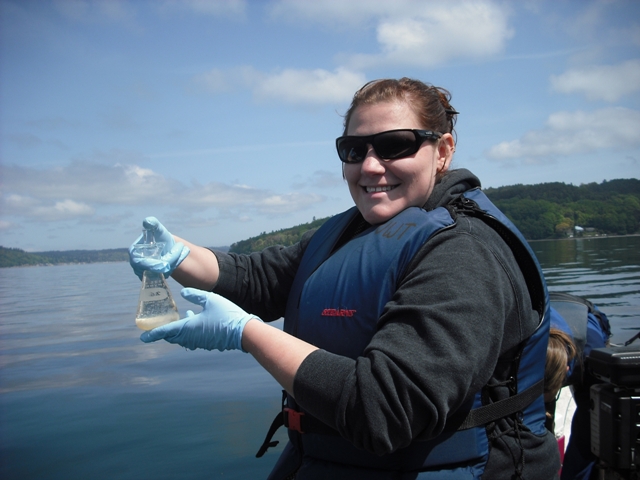
Water Samples Collected in Niskin Bottles
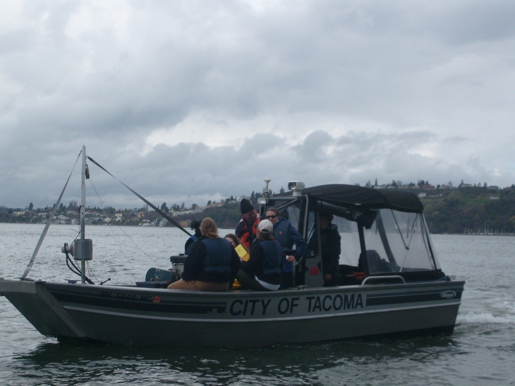
Samples were Collected on Bay Watcher II Along Commencement Bay
.JPG)
.JPG)